Build Your World: Explore the Power
of Customizable GIS Software
Think of farming.software’s geographic information system (GIS) module as a choose-your-own-adventure map for information. You decide what data you want to see, how you want it displayed, and what questions you want to answer. This makes it useful for anyone, from farmers tracking crop health to city planners designing new parks.
Customizable GIS software is like a map-making toolbox that lets you see your world through a data lens, in whatever way best suits your needs. Regular GIS software lets you see geographic information, like roads, buildings, and maybe even rivers. Customizable GIS software takes things a step further. You can pick and choose what information you want to see on the map, like adding data about trees in a park or property lines in a neighborhood.Think of it like a toolbox. You get all sorts of map data tools, and you can use whichever ones you need to create the perfect map for your situation.
Customization is Key:
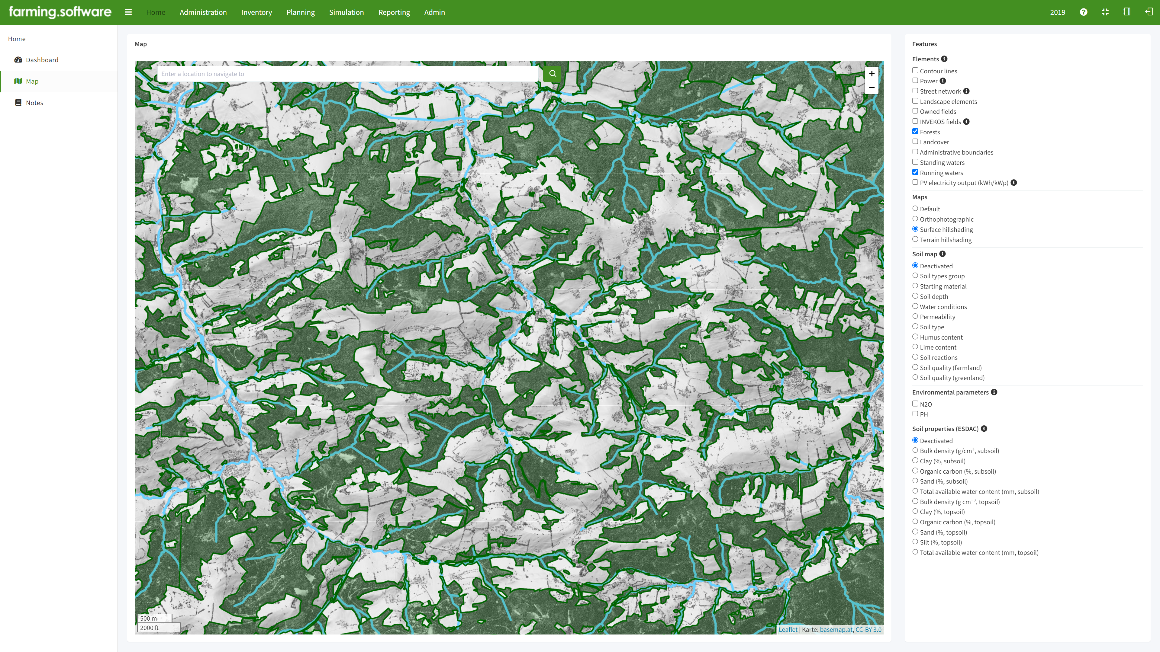
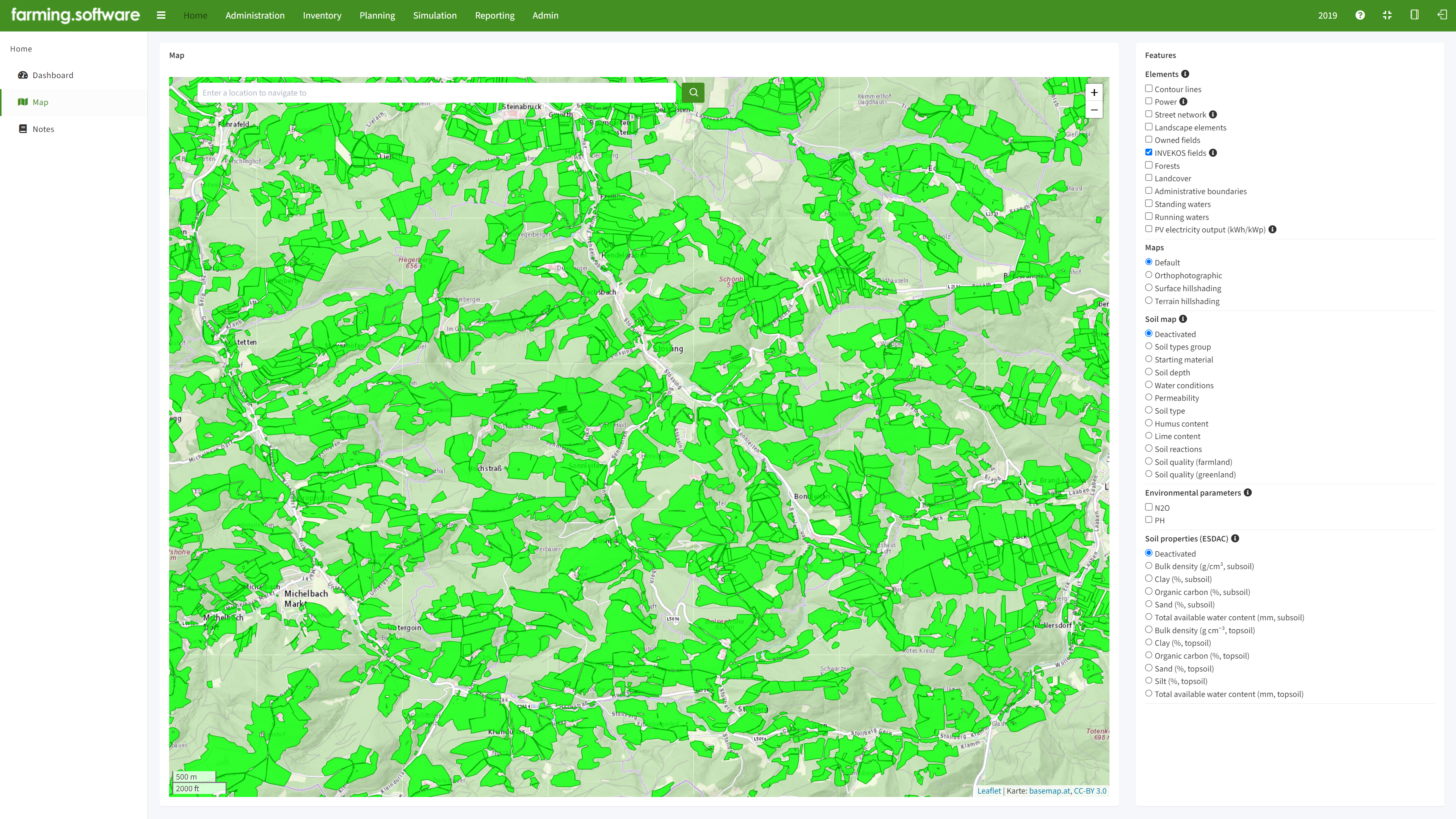
- Base Maps: Choose from different background maps like satellite imagery, street maps, or topographic maps.
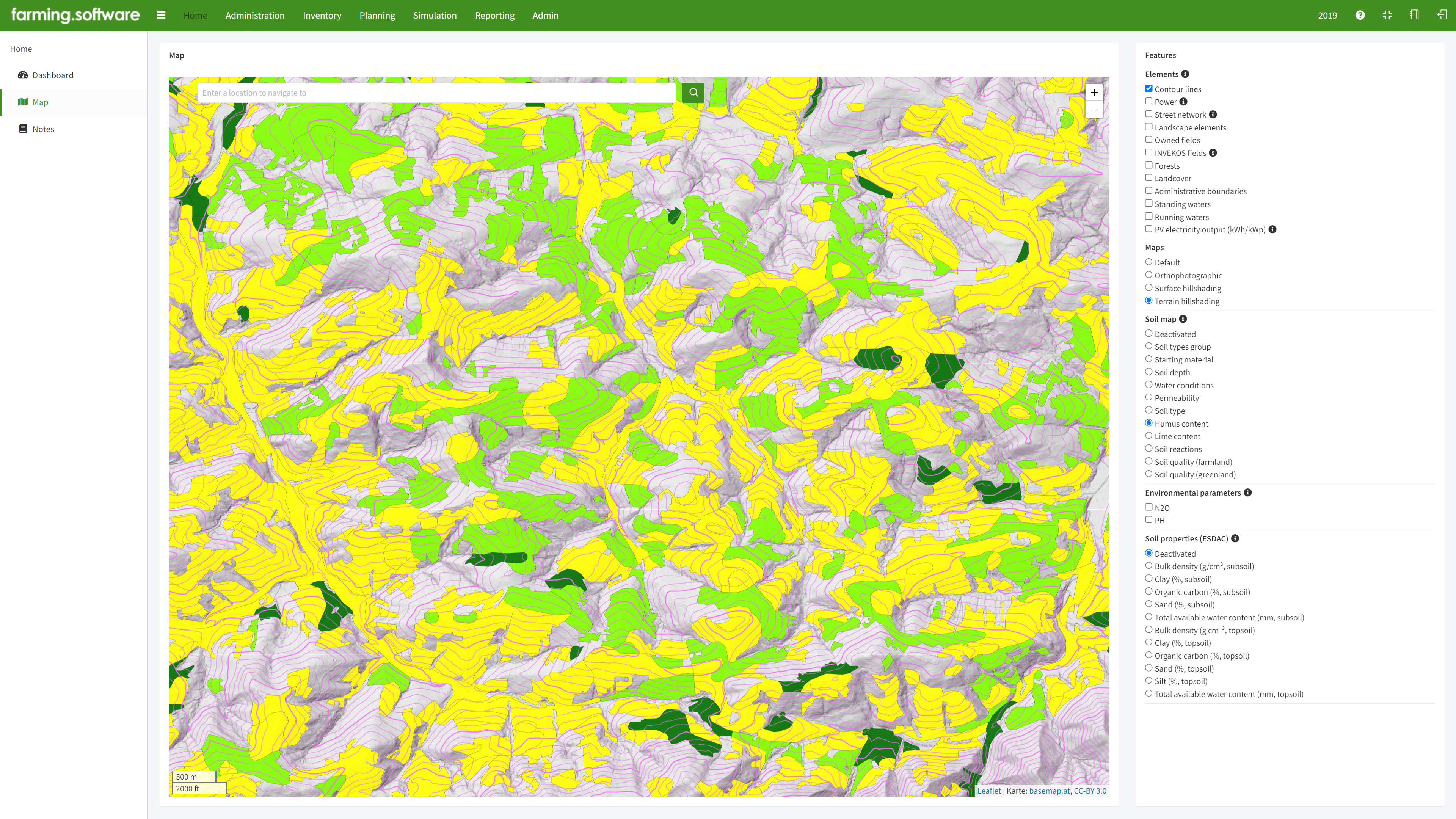
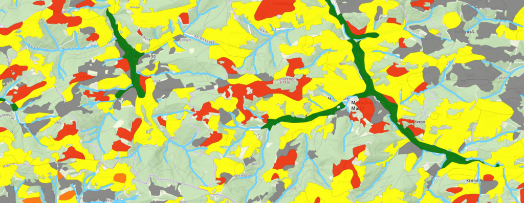
- Data Layers: Like stacking sheets on a physical map, you can add layers of information on anything from soil types and historical landmarks to crime rates and noise pollution.
- Pick Your Data: The beauty of customizable GIS software is that you can choose the data that matters to you. Running a farm? Add layers on soil health and weather patterns. City planner? Overlay traffic data with noise levels.
- Style it Up: Don’t get stuck with boring symbols! Our software lets you customize how data is displayed. Change marker colors and sizes, or create unique heatmaps to show areas with high concentrations of your data.
- Analysis Power: Go beyond just looking at maps. Our systems allow you to analyze your data. Find patterns, identify trends, and see how different factors relate to each other.
- Make Informed Decisions: See the bigger picture by combining various data sets. This can help with anything from urban planning to environmental protection.
- Save Time and Resources: No need to spend hours collecting and analyzing data yourself. Customizable GIS lets you find and visualize information quickly.
- Share Your Findings: Easily create maps and reports to share your insights with others. Collaborate and make better decisions together.

