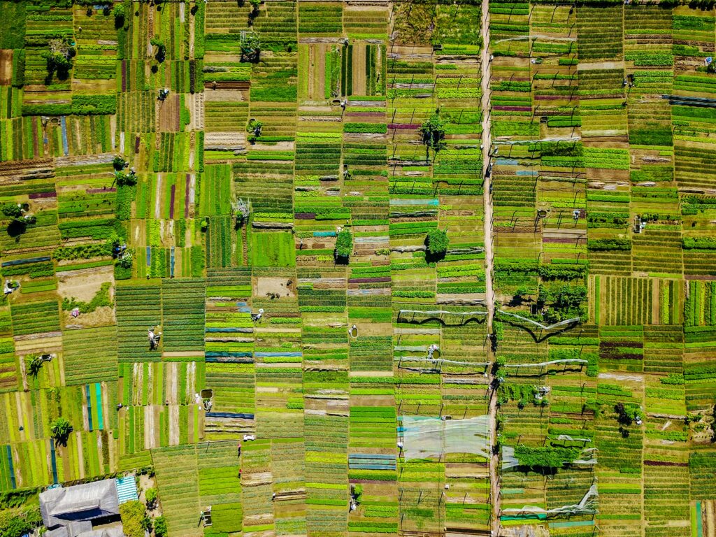
See the World from Above:
Exploring with Remote Sensing Software
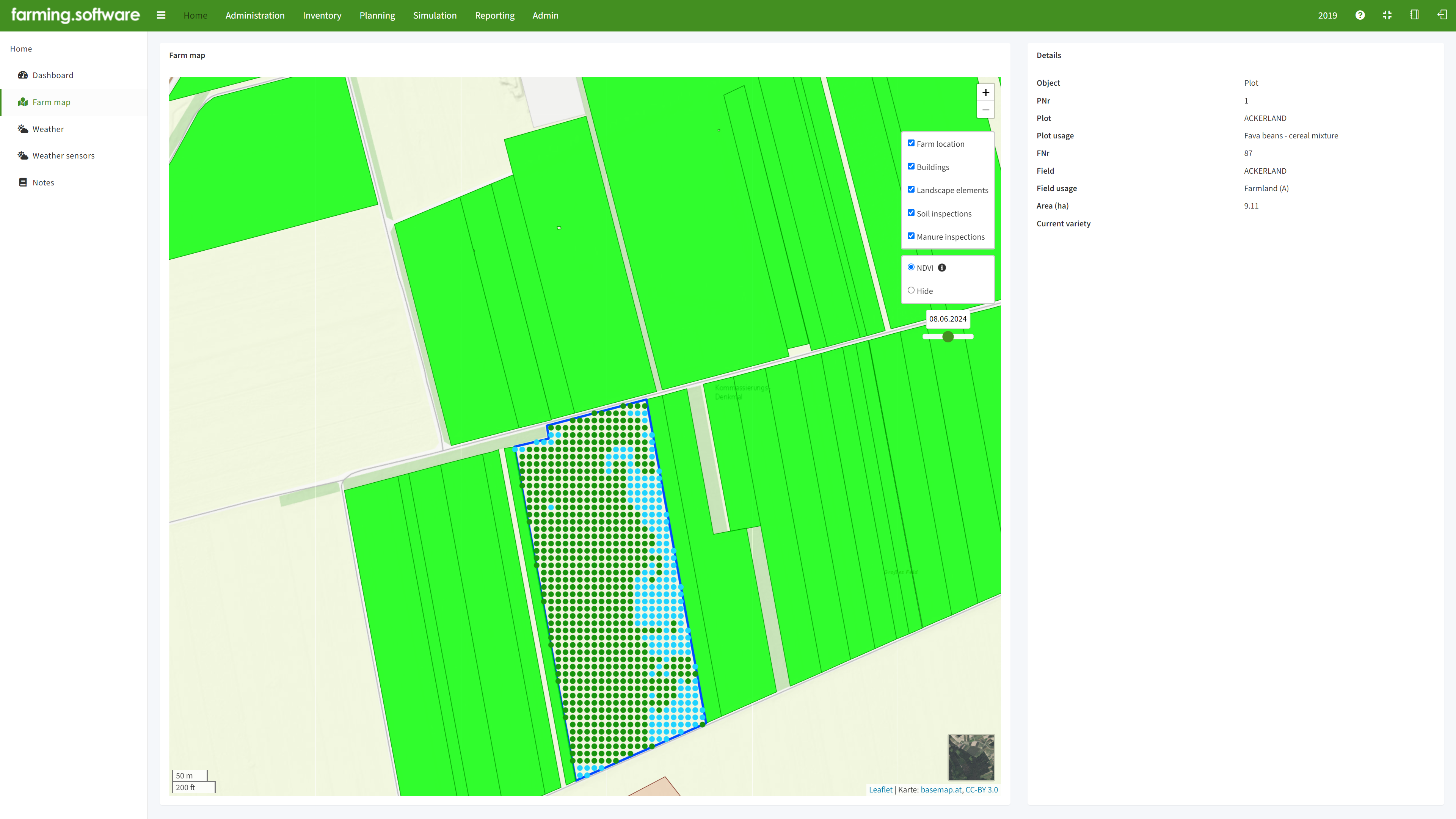
farming.software’s remote sensing module puts the power of satellite and aerial imagery analysis at your fingertips. Extract valuable insights about land cover, crop health, environmental changes, and more – all without ever leaving the field office. Gain a deeper understanding of your area of interest and make informed decisions faster than ever before.
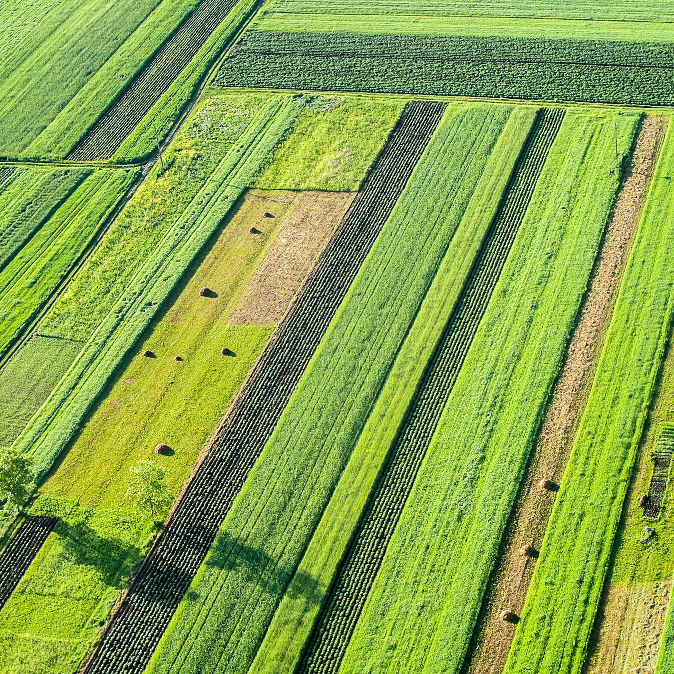
Remote sensing aims to gather information about Earth from a distance, using sensors on airplanes, satellites, or drones. This technology allows for efficient data collection over large areas, providing a detailed picture of things like land cover, crop health, or potential natural disasters. This information is crucial for fields like agriculture, environmental monitoring, and disaster response, giving us the tools to make better decisions and manage our planet more effectively.
Satellites like Sentinel-2 and Landsat series capture multispectral images, revealing details beyond the visible spectrum. This allows scientists to analyze vegetation health through spectral indices like NDVI (Normalized Difference Vegetation Index). We train advanced algorithms on massive datasets of remote sensing images combined with ground truth data (e.g., field observations). These algorithms can then identify crop types with high accuracy based on spectral characteristics, spatial patterns, and changes over time (temporal data).
Accordingly, our crop sensing models allow you to experiment with different management strategies virtually before implementing them in the field. By harnessing the power of our crop modelling software, you can:
- Effortless Data Access: Seamless integration with leading satellite and aerial imagery providers.
- Intuitive Analysis Tools: Extract valuable information from imagery through a comprehensive suite of analytical functions.
- Advanced Visualization: Generate insightful maps, charts, and reports to effectively communicate your findings.
- Cloud-Based Flexibility: Access your data and tools from any device, anywhere in the world.

