Remote sensing
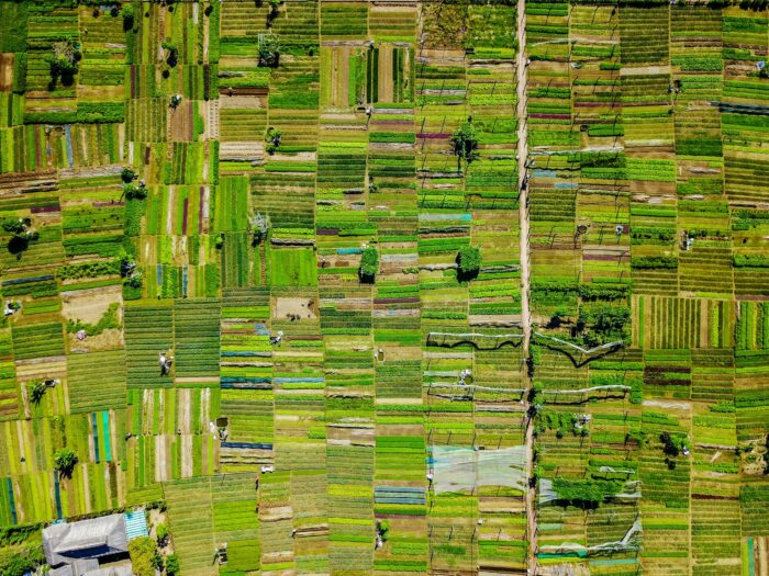
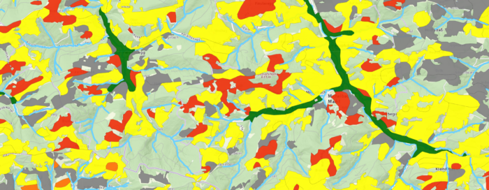
See the World from Above: Exploring with Remote Sensing Software farming.software’s remote sensing module puts the power of satellite and aerial imagery analysis at your fingertips. Extract valuable insights about land cover, crop health, environmental changes, and more – all without ever leaving the field office. Gain a deeper understanding of your area of interest…


